
West Springfield Postal Record Coverage
West Springfield is an unincorporated Fairfax County community and Census-designated place, not an incorporated city. The 2020 Census place-to-ZCTA relationship file links the CDP to three ZIP areas: 22150, 22152, and 22153. Those areas describe postal and statistical geography, not a resident roster and not a municipal boundary. The ZIP code directory is most useful when it keeps each address's postal version alongside its county parcel and community information.
Postal names can be particularly confusing here. An address may use Springfield even when the community record says West Springfield, and that is not an error by itself. The table gives the documented post-office context without treating a ZIP as proof that every address falls inside the CDP.
| ZIP | Areas Covered | Post Office | Notes |
|---|---|---|---|
| 22150 | Western and central Springfield postal geography intersecting the CDP | Springfield Main Post Office, 7051 Brookfield Plaza | ZIP is not a West Springfield city boundary; main office has 24-hour PO Box access |
| 22152 | West Springfield, Rolling Road, and surrounding Springfield postal geography | Springfield West Branch, 6200 Rolling Road | County locations can use Springfield, VA 22152 while the community is West Springfield |
| 22153 | Southern and southwestern CDP edge with nearby Fairfax County postal geography | Verify station assignment by exact address | The Census relationship supports the ZCTA connection, not every-address inclusion |
Nearby 22151 is not in the official 2020 relationship for the West Springfield CDP, so it should not be added merely because it is close to Springfield. Exact-address verification matters more than a nearby ZIP label.
West Springfield's 22150 Postal Area
For 22150, the documented postal reference point is the Springfield Main Post Office at 7051 Brookfield Plaza, Springfield, VA 22150-9998. The research records weekday hours of 9 to 5, Saturday hours of 9 to 2, and a listed phone number of 703-569-8073. Those details describe the office, not the boundary of a neighborhood or the county's records jurisdiction.
Use 22150 to normalize a delivery address, then move to a county address or parcel search for records. A postal result is a delivery clue. It does not establish the legal description, current occupant, or community identity of every address that shares the code.
West Springfield 22152 Address Context
The 22152 area includes West Springfield and Rolling Road context, with the Springfield West Branch at 6200 Rolling Road. The Springfield Supervisor District office and West Springfield District Police Station both use Springfield, VA 22152. That shared postal line is a local example of why a West Springfield search may return a Springfield address without describing a different county community.
For local geography, enter the street address in Fairfax My Neighborhood. Its report is useful for precincts, officials, schools, services, and nearby facilities. It does not produce a ZIP-wide list of residents. Treat the report as address context before using the appropriate parcel, permit, or elections channel.
The My Neighborhood address report is shown below.
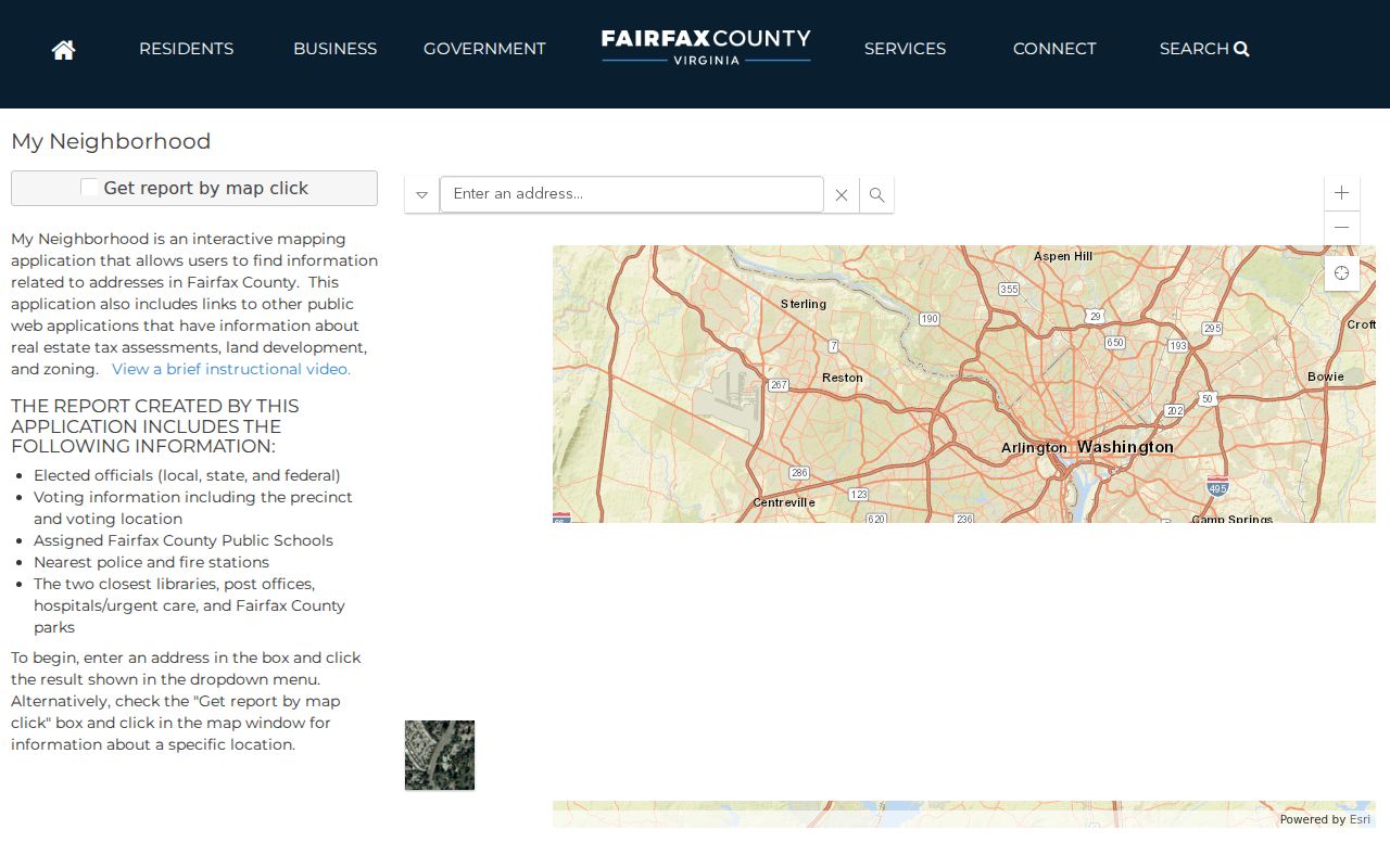
Its civic and service fields help explain an address's local setting without turning the ZIP into a person-search field.
Verify West Springfield 22153 Addresses
The 22153 connection is more sensitive to exact location. The official relationship file places that ZCTA at the southern and southwestern edge of the West Springfield CDP, but it does not name one station for every address. Do not infer a post office from the community name. Confirm the full delivery line with the USPS city/state lookup before carrying the code into a county search.
The direct USPS ZIP Code Lookup is the delivery-validation route. The unattended capture did not produce a stable result for a particular search, which is why a live exact-address check remains necessary. Preserve the response shown by USPS with the date used.
The USPS city/state lookup is the official way to check this postal question.
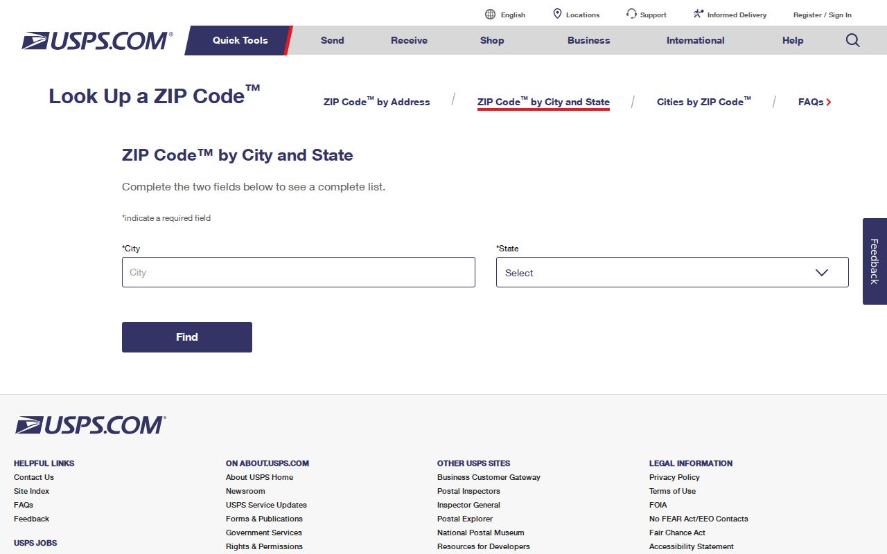
The screen identifies the correct validation path, while a live query supplies the deliverable ZIP for the precise address.
West Springfield Postal Map Records
Fairfax County's interactive ZIP and community map uses 2025 IPLS data and is updated annually. It can search address, place, or ZIP features, allow feature selection, and export a saved selection. Use it to see the geographic relationship among postal areas, communities, and precincts. It is not a property-owner query and its exported layer is not a survey or a resident list.
For a parcel-level question, Fairfax Jade and iCare use different keys. Jade can search by PIN, address, street or intersection, while iCare uses an address, map number, or map search. Keep the map number and legal description with the postal line because they carry more weight than a colored ZIP polygon.
The Fairfax ZIP map provides the county's geographic view.
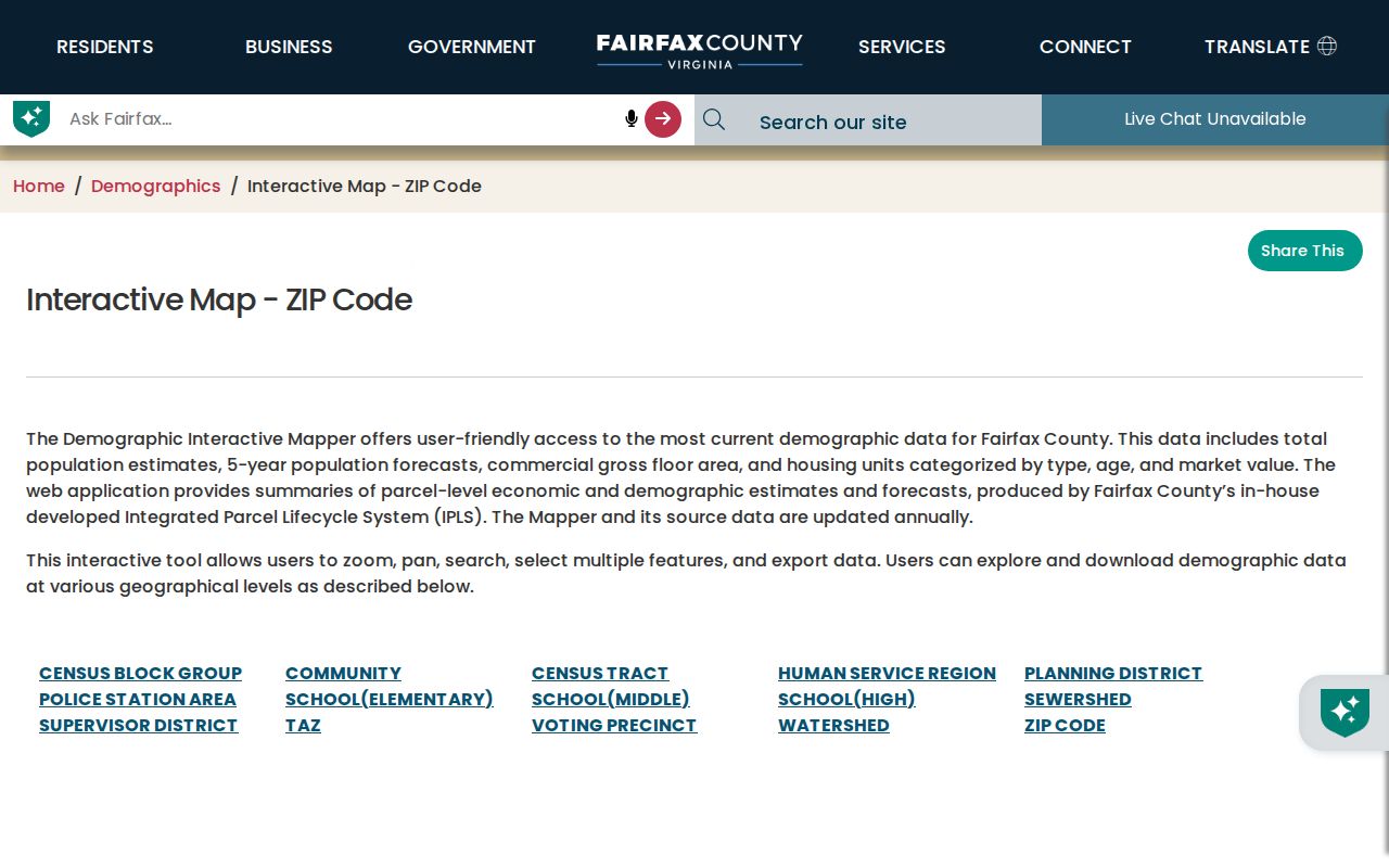
Search, selection, and export controls make the map useful for comparing local geography before an address-specific records request.
Find West Springfield Residents by ZIP
A ZIP can focus a geographic question, but the public systems do not all accept it as a search field. Begin with a precise USPS result, then use the county map to see the relevant local area. From there, an address can lead to My Neighborhood, Jade, iCare, or PLUS depending on the record needed. Virginia voter-list requests use locality, district, and election filters rather than an unrestricted ZIP field.
- Validate the full street, city, state, and ZIP through USPS rather than relying on a community label.
- Search the Fairfax ZIP map by address, place, or ZIP to understand the local geography.
- Use the exact address in My Neighborhood or Jade, then retain the returned parcel or PIN when available.
- Search iCare by address or map number for assessment context, or PLUS by address components when the question concerns a county record.
- Use Elections or the registrar only through the status and request processes allowed for the particular voter record.
After a ZIP has narrowed the area to a street, the West Springfield street directory provides the address-by-address county record trail. It is the better route for a whole street because ZIP geography does not supply a parcel sequence.
West Springfield Portal Search Fields
The inspected systems use ZIP in different ways. The county map treats it as a geographic search. My Neighborhood starts with an address. iCare's public form has no ZIP field even though its results can display a postal line, and PLUS includes address components, including ZIP, for record searching. This distinction prevents a postal search from promising a feature the portal does not have.
| Portal | Search field or filter | What it returns | Limit |
|---|---|---|---|
| Fairfax ZIP map | Address, place, or ZIP; select and export | ZIP, community, and precinct geography | Geographic layer, not parcel ownership |
| My Neighborhood | Exact address | Precinct, officials, schools, services, and facilities | Not a ZIP-wide resident list |
| iCare | Number, unit, street, suffix, map number, or map search | Parcel assessment and address context | No public ZIP search field inspected |
| PLUS | Address components including ZIP, with optional Search All Records | Permit, planning, environmental, zoning, or enforcement records | Legacy material may require LDIH or office help |
| Virginia voter request | Locality, district, and election filters | Regulated request products | No unrestricted ZIP filter |
Note: A ZIP is a postal or map filter here; map number, precinct, and legal description remain separate record identifiers.
West Springfield Postal Address Mismatches
ZIP boundaries do not define West Springfield city limits because West Springfield has no city limits. It is a Fairfax County CDP and unincorporated community. USPS delivery routes, Census ZCTAs, subdivision names, county community names, and the City of Fairfax are separate concepts. The City of Fairfax is an independent city and county-seat location, not part of West Springfield.
A postal address may say Springfield while the county community label says West Springfield. A ZCTA can also contain noncontiguous pieces, so the Census relationship does not guarantee that every address in a ZIP is inside the CDP. For title or boundary questions, use the parcel's legal description, recorded deed, plat, and survey rather than the ZIP map.
Address check. Keep the USPS delivery line, iCare situs address, mailing address, map number, and deed legal description separate. Each answers a different question.
- ZIP versus ZIP+4
- The five-digit ZIP identifies a delivery area. ZIP+4 adds a smaller delivery segment for more precise mail sorting.
- PO Box ZIP
- A ZIP used for post-office boxes. It may not describe street-delivery geography.
- Unique ZIP
- A ZIP assigned to one organization or large recipient. No West Springfield unique ZIP was identified in the research.
- Carrier route
- A mail-delivery sequence used by USPS. It is not a parcel, precinct, or resident identifier.
West Springfield Record Keys
West Springfield's three-ZIP pattern is a useful comparison of record systems. USPS supplies delivery geography. The Census relationship supplies a statistical crosswalk. Fairfax's map supplies local geographic context. iCare and recorded land documents use address, map number, parcel, and legal-description information. Elections relies on locality, precinct, and district. None substitutes for another.
That separation is useful when a historical directory, deed, or county map uses a different place name. Test West Springfield, Springfield, Greater Springfield, subdivision names, and older street abbreviations, then retain the stable parcel and legal-description information. The ZIP code directory is a starting layer for that comparison, not a way to infer a resident's identity.