
West Springfield Neighbors Around One Address
West Springfield neighbors can be understood through several records, but each answers a narrow question. A GIS result identifies an adjacent parcel. An assessment card can show the owner field when public, the mailing address, and property facts. A civic association can identify the area it serves. A historical directory can place a listed household in a particular year. None is a complete list of everyone at a block address, and an owner, a listed telephone subscriber, and a resident may be different people.
| Source | What it shows about a block | Access |
|---|---|---|
| Jade parcel map | Adjacent parcels, layers, districts, and selected attributes | Free dynamic map with selection and export tools |
| DTA iCare | Parcel card, owner field when public, mailing and situs addresses | Free address or map-number search; withholding is possible |
| My Neighborhood | Precinct, officials, schools, nearby facilities, and service context | Free address report |
| PLUS and LDIH | Permits, inspections, site, zoning, and code activity tied to an address | Public search; legacy coverage can vary |
| Virginia Room directories | Historical listed households, street maps, and telephone continuity | Library collections; private current directories are excluded |
| County association list | Voluntary civic and association organization channels | Public county PDF, not a membership roster |
Use a source label and date with each observation. That small habit separates an adjacent parcel from a historical neighbor and prevents a map result from becoming a claim about a current household.
Map a West Springfield Block for Neighbors
Fairfax Digital Map Viewer and Jade provide the geographic starting point for nearby parcels. Jade can search by address, PIN, street intersection, or subdivision. After locating the starting parcel, turn on parcel boundaries and only the layers that answer the question, such as districts or historic aerial imagery. Its select tool can click, rectangle-select, or buffer a group of parcels, then export selected attributes for a dated research note.
- Search the known West Springfield address and confirm the matching parcel rather than relying on a similar street name.
- Click the parcel and record its PIN or map number, then use a click, rectangle, or buffer selection to identify the immediately adjacent parcels.
- Record the adjacent PINs and return each one to iCare for the parcel card. Keep parcel and address facts separate from any household claim.
- Use a deed or plat only when a legal boundary question remains. Jade is a discovery map, not a survey.
For a complete named street rather than the immediate block, use the West Springfield street directory. The street workflow has a different scope and should not be replaced by a radius search.
The Digital Map Viewer is the county source represented below.
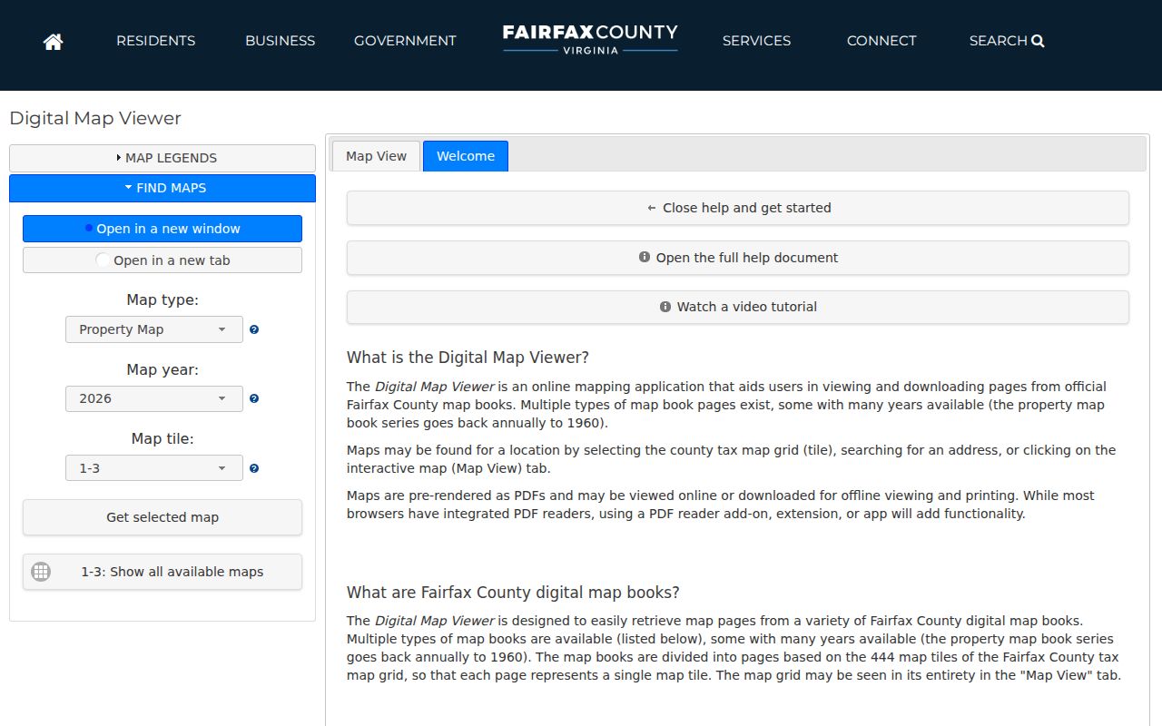
Use the displayed map to identify spatial relationships, then verify any parcel details in the matching county assessment or recorded-instrument source.
West Springfield Neighbor PINs in iCare
Every PIN from the map should return to its own iCare card. The public search is strongest for a known address or map number, not a broad owner-name hunt. An iCare result can show the situs address, mailing address, assessment year, land and building values, physical characteristics, sale history, map reference, and an owner field when it has not been withheld. Values are assessment facts and should not be used as a proxy for occupancy.
Mailing and situs addresses serve different roles. The situs address identifies the parcel's physical location. The mailing address shows where tax correspondence is sent and may be outside the neighborhood. If a homestead-related exemption appears, it is evidence of a claimed tax status, not proof that someone is currently present. Preserve the retrieval date, map number, and the public field wording rather than adding conclusions the card does not make.
Note: An unavailable owner field can reflect DTA's online withholding option, an entity or trust, or a mailing-and-situs mismatch.
West Springfield Association Maps and Directories
Association material adds a community layer, not a roster of West Springfield neighbors. Fairfax County's voluntary association list identifies West Springfield Civic Association, West Springfield Mews HOA, West Springfield Terrace HOA, and West Springfield Village. The county says it does not regulate association membership or provide legal or management advice. Use the entries to find organization names and contact channels, then confirm current details directly with the organization.
County associations list
Fairfax County's voluntary directory is the starting point for civic and association names.
West Springfield Civic Association
Historic West Springfield community directories are held at the Virginia Room; current listing status must not be assumed.
West Springfield Mews HOA
The county list supplies an organization lead, not a source for identifying individual households.
West Springfield Terrace HOA
Use the name to understand neighborhood organization, then verify current contact details from the association.
The Fairfax neighborhoods resource links county address and community tools used to orient a West Springfield block.
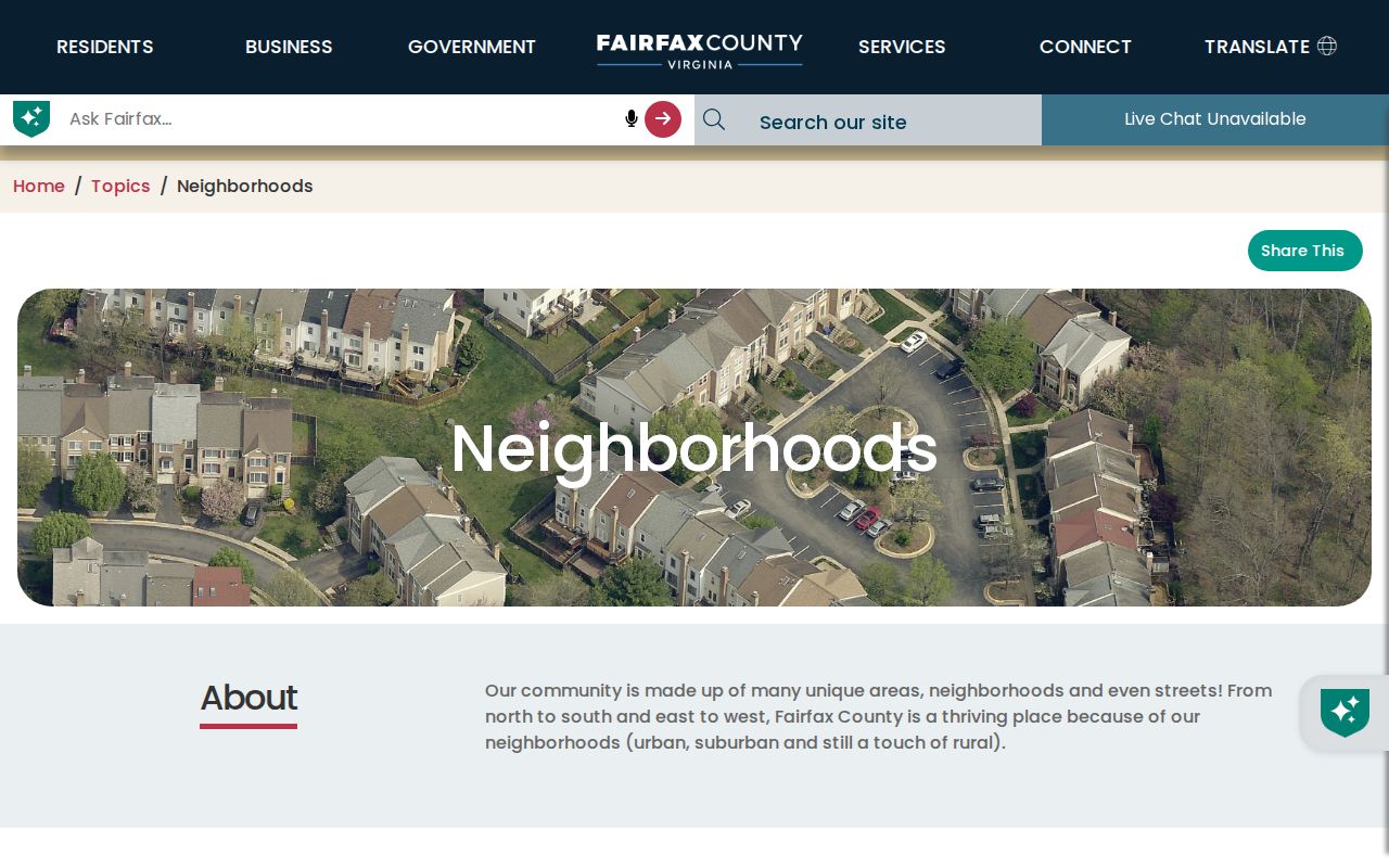
The county resource gives the geographic and civic context needed to interpret an association name without treating it as proof of present membership.
West Springfield Village Neighbor Context
West Springfield Village is a useful local-history check when a parcel falls within that subdivision. Its first-party history says Richmar built 423 original homes in 1966, with King, Queen, Prince, Duchess, and Duke model names, and the community later added 15 nearby homes. That development story can help date a plat, directory entry, permit, or newspaper notice. It does not identify every past or current neighbor.
Names on a West Springfield block need the same geographic care. A directory or deed can say Springfield, West Springfield, Fairfax County, or a subdivision rather than use the modern CDP label. Greater Springfield is an informal grouping that includes Springfield, West Springfield, and North Springfield. Preserve the printed label and test it against the parcel, street, and subdivision map. This avoids joining a historic neighbor to a similarly named but different place.
The association says it serves the area along Rolling Road between Fairfax County Parkway and Old Keene Mill Road, publishes a community map and newsletters, and maintains a private member directory. That directory is annual, alphabetical and street-arranged only for members or new residents who agree to be listed. A missing name from it does not establish absence from the neighborhood.
West Springfield Neighbor Activity in PLUS
PLUS adds address-linked public activity to a block research note. Building searches accept site address, contractor-license information, parcel number, and record information. The address route uses street number, street name and type, city, state, ZIP, and country. Fairfax instructs researchers to try only the street number and street name when an exact format fails. Record Info can lead to inspections and related records after a record is found.
A result can document a permit, inspection, site matter, zoning item, or code case. It does not establish a current household. For older material, the county's LDIH system consolidates legacy building, site, zoning, and complaint records that were uploaded before the PLUS migration, while gaps may need an office or VFOIA route. Keep the record number and source date with the address.
West Springfield Neighbor Sources Compared
Official records and commercial neighbor-lookup categories answer different questions. The official route lets a reader see the responsible custodian, the search key, the record date, and any withholding rule. A commercial compilation may combine records from several sources, but its date, correction path, and source context can be unclear. Neither route proves that every person associated with an address is currently there.
| Source type | Best use for a block | Limit to keep in view |
|---|---|---|
| Official parcel, deed, and map records | Parcel boundaries, recorded interests, dates, and source-specific fields | Owner, parcel, and household are not interchangeable; withheld fields remain unavailable |
| County community and association sources | Subdivision context, civic geography, and public organization channels | Voluntary lists and private directories do not establish membership or household presence |
| Commercial neighbor-lookup category | A starting lead that should be checked against a custodian record | May be incomplete, stale, or detached from its source date and correction process |
Virginia's consumer-data law can provide access, correction, deletion, and opt-out rights for covered data controllers, subject to statutory exemptions. It does not erase a public deed or legally required government record. Start with the actual custodian's correction or withholding route when a source needs attention.
West Springfield Neighbors and Privacy Limits
Several important facts remain private or restricted. Virginia's Address Confidentiality Program can substitute an eligible participant's residence address in public records. Protected voter rules omit sensitive voter fields and protected addresses, while the DTA allows online owner-name withholding. Utility-account and delivery-customer data were not located as a public people-lookup source. A missing result may be intentional, and it is not an invitation to reconstruct a protected location from unrelated records.
The Virginia Citizen Portal is an individual registration-status and election service, not a block roster. The regulated voter-list process has declared-purpose and product limits, and its public fields omit Social Security numbers, full birth dates, and protected-address details. Precinct and ZIP are geographic layers, not evidence of every person in a neighborhood.
Lawful use. West Springfield neighbor research is for understanding a block, reconnecting through appropriate channels, family history, and personal safety awareness. Do not use records to watch, harass, intimidate, or track another person.